


The Earth from space
Retro-computing and the god-trick.

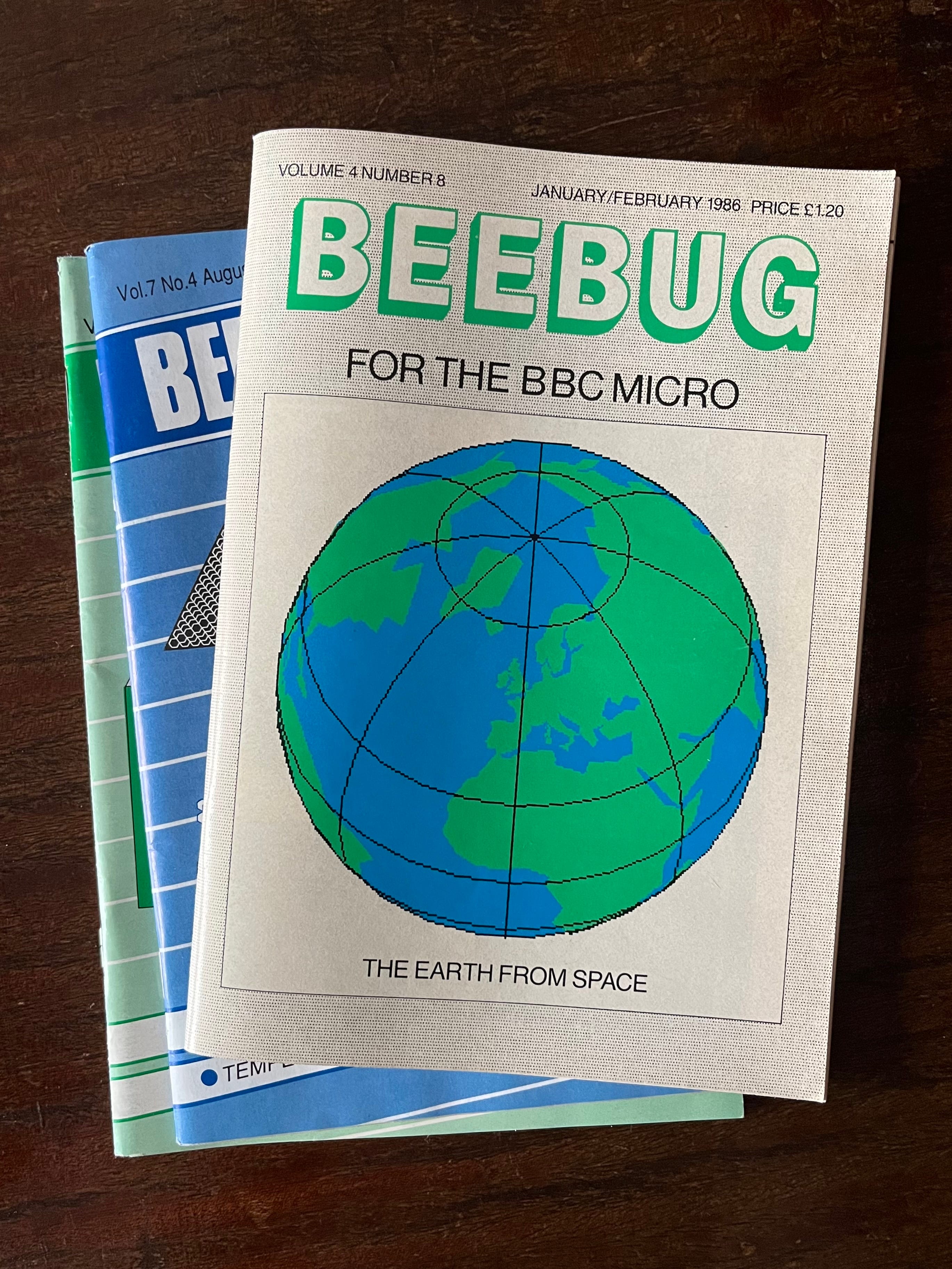
At the National Museum of Computing in Bletchley, I came across some vintage issues of BEEBUG. Active between 1982 and 1994, the magazine published tips for programming the 8-bit BBC Micro. One issue, enticingly captioned “THE EARTH FROM SPACE,” contains a short program to render the Earth on your own screen.
Today, among innumerable slippy web maps, “from space” seems a limiting, even pedantic modifier. When we do see a full globe, it is generally one we can zoom around at will. The world is already accessible from any perspective. Why constrain ourselves to embody a specific position?

At the same time, most contemporary images of the Earth are not “from space,” per se, but a combination of many different perspectives. Take NASA’s Blue Marble 2012. The image is comprised of a series of satellite photographs taken over the course of the same day.
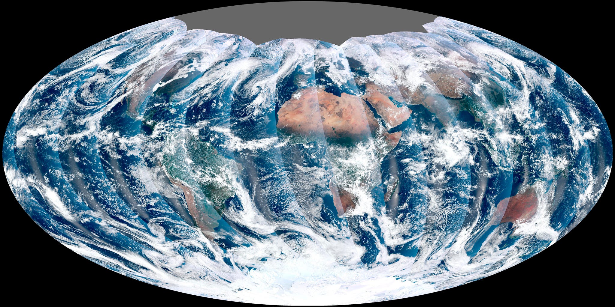
Composite images propagate what theorist Donna Haraway calls the “god-trick” — the apparent objectivity of a disembodied, techno-scientifically mediated vantage point. Floating in the void of space, a human would not see Blue Marble 2012. The image is a construction that represents a view, not from space, but from nowhere.
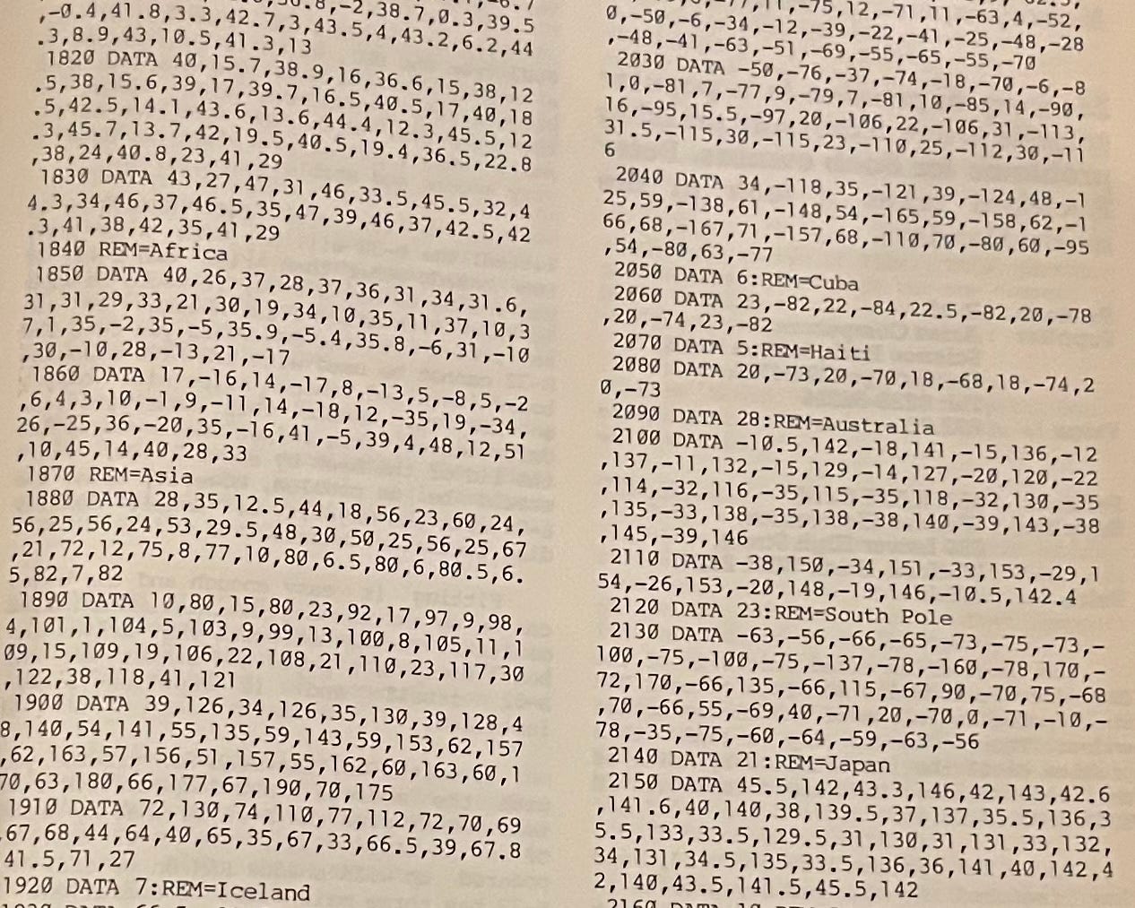
The full text of the Earth from Space program, written in BBC Basic, is printed in BEEBUG. The code includes the latitude and longitude coordinates for every continent. I transcribed the code into a modern BBC Micro simulator…

…and after all these years, it (mostly) works! A mediated perspective, yes, but one candid about its limitations.